DistrictView provides several features to help you view and analyze maps more efficiently. Watch the short video clips below to see the effects of each feature.
Zoom/Expand map
You can zoom in and out on the map to get a better view of routes. Simply click the plus sign to zoom in, and the minus sign to zoom out.
You can make the map full screen by clicking expand, located beneath the zoom feature.
Show/hide map
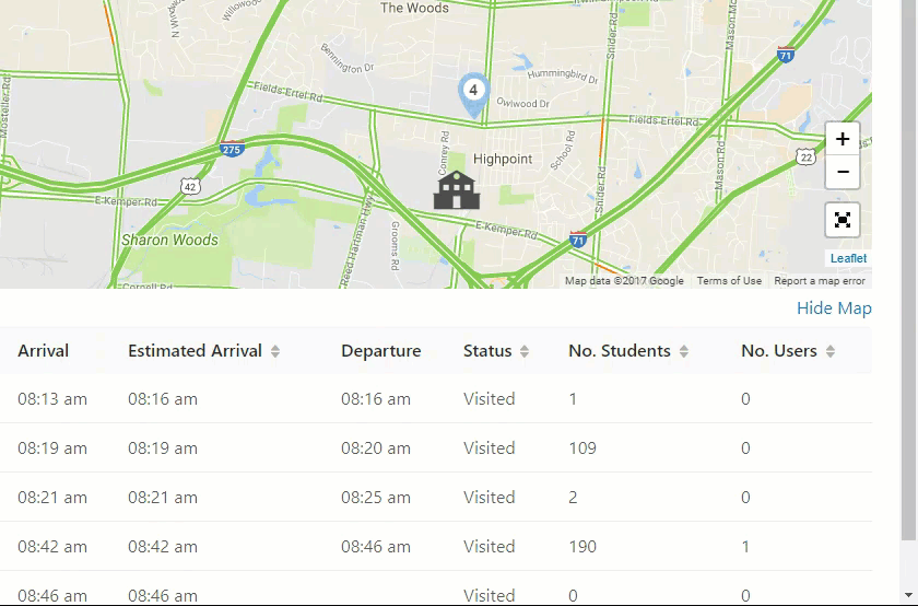
If you simply want to view the information in the table below the map, click "hide map" to make it disappear from the screen. To bring the map back, simply click "show map".
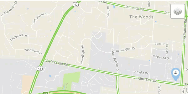
Select map source
To change the source of the map, hover over the layer icon and select either the "Google" or "Mapbox" style. Google is good for seeing major roads and highways, while Mapbox provides a more detailed view of streets. Changing the map source only changes the aesthetic, it does not impact performance or any reported data.
Hover effects
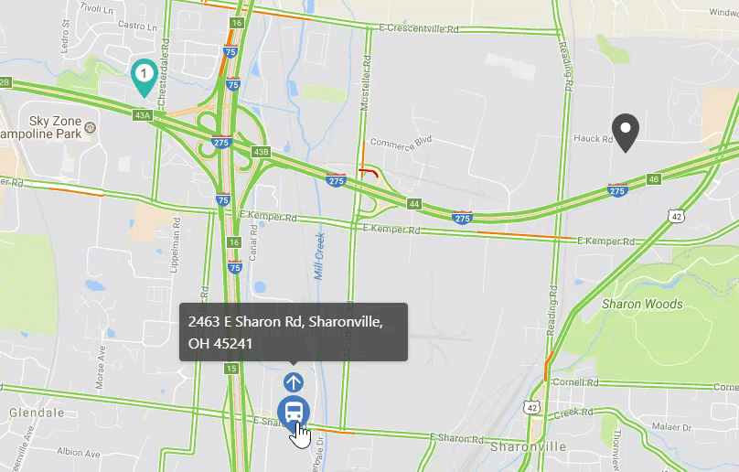
Hover over icons on the map to view the icon's current location. You can see the location of a bus, a stop address, or a school's name using this feature.